
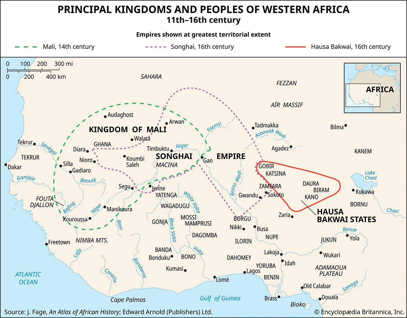
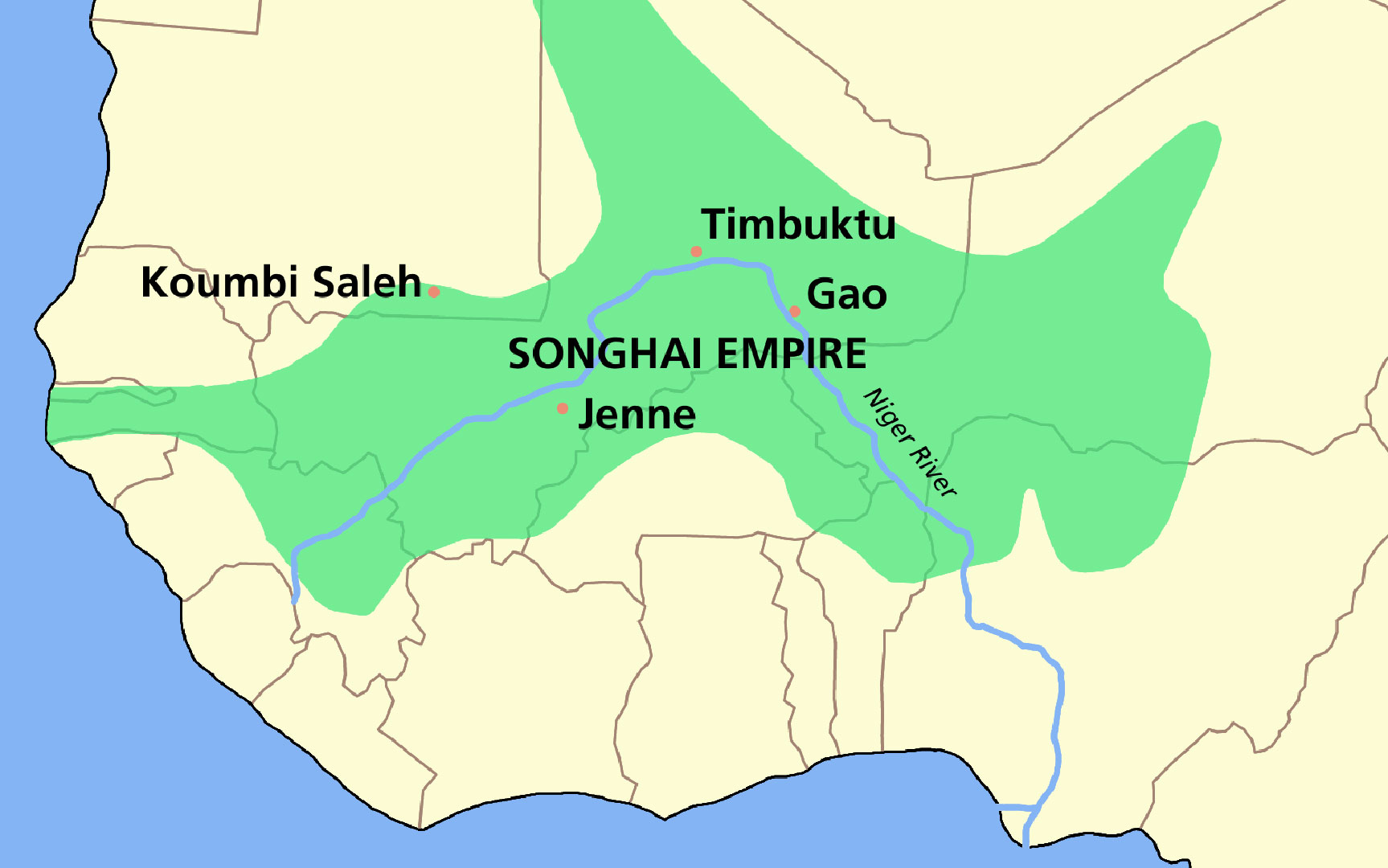
Maps can tell us much more than where countries and cities are located—they can also share the stories, cultures, and histories of the people who live there. For a long time, many maps left out important information about African communities and the rich traditions found across the continent. By looking at maps through African perspectives, we learn that every region has its own stories, values, and ways of understanding the land.
This unit helps students explore Africa through both geography and storytelling. Students learn that Africa is made up of many regions, each with unique cultures and histories. Through reading regional stories, studying maps, and creating their own symbolic maps, students see how stories and landmarks connect people to place. They also learn how maps can highlight voices and histories that are sometimes overlooked.
By the end of the unit, students will understand that maps are not just tools for navigation—they are powerful storytellers that help us appreciate the diversity and richness of African cultures.
- 6.1.5.GeoSV.4: Use a variety of geographic representations to describe the similarities and differences between places in New Jersey, the United States and the world (e.g., maps, data visualizations, graphs, diagrams, aerial and other photographs, GPS).
- 6.1.5.HistoryUP.5: Compare and contrast historians’ interpretations of important historical ideas, resources, and events.
Curriculum
- 3 Sections
- 3 Lessons
- Lifetime
- Stage 11
- Stage 21
- Stage 31


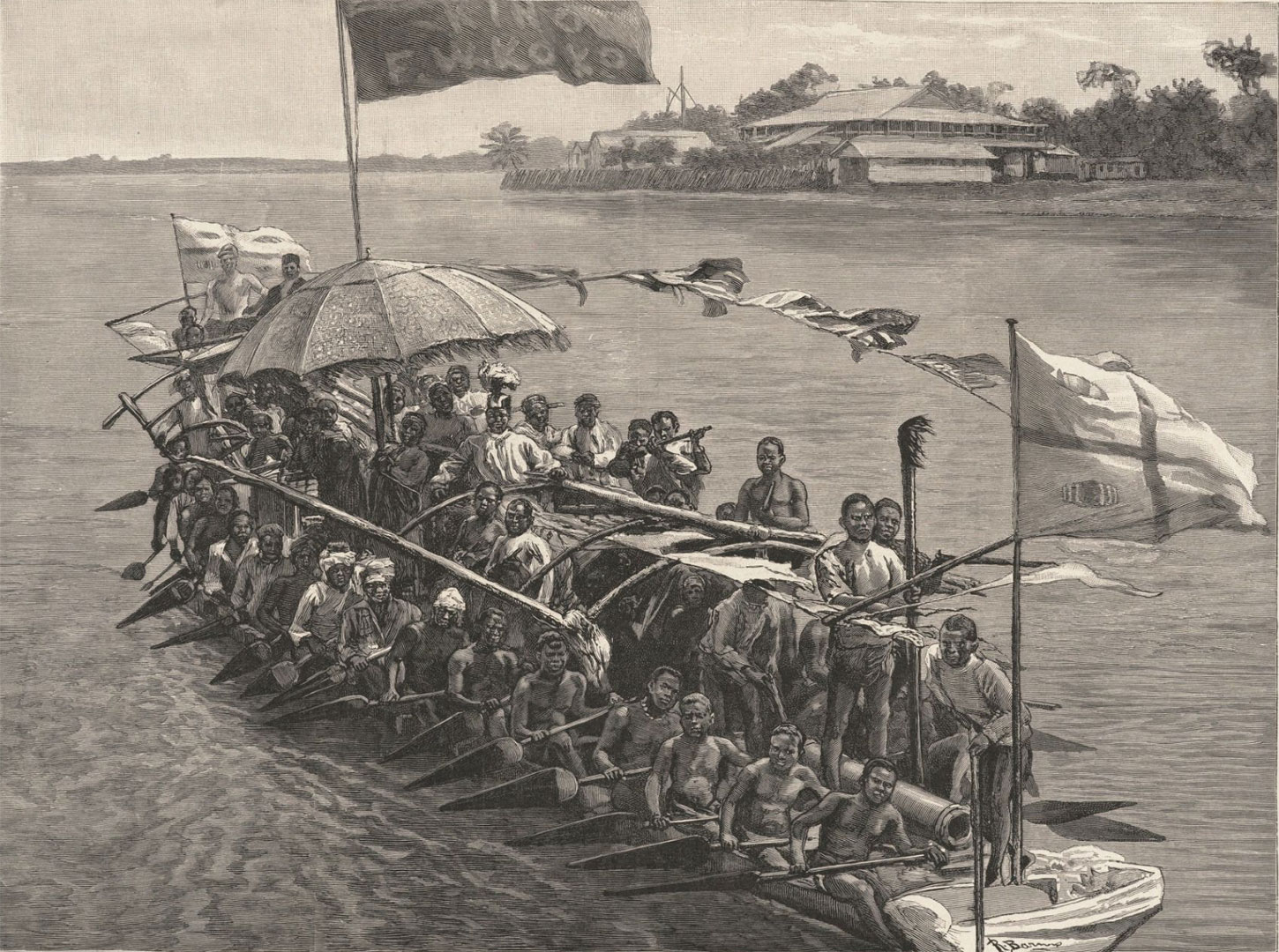
![King Koko [King Frederick William Koko Mingi VIII] of Nembe in His War Canoe to resist European seizure of African resources. King Koko [King Frederick William Koko Mingi VIII] of Nembe in His War Canoe to resist European seizure of African resources. King Koko [King Frederick William Koko Mingi VIII] of Nembe in His War Canoe to resist European seizure of African resources. King Koko [King Frederick William Koko Mingi VIII] of Nembe in His War Canoe to resist European seizure of African resources. King Koko [King Frederick William Koko Mingi VIII] of Nembe in His War Canoe to resist European seizure of African resources. King Koko [King Frederick William Koko Mingi VIII] of Nembe in His War Canoe to resist European seizure of African resources. King Koko [King Frederick William Koko Mingi VIII] of Nembe in His War Canoe to resist European seizure of African resources. King Koko [King Frederick William Koko Mingi VIII] of Nembe in His War Canoe to resist European seizure of African resources. King Koko [King Frederick William Koko Mingi VIII] of Nembe in His War Canoe to resist European seizure of African resources. King Koko [King Frederick William Koko Mingi VIII] of Nembe in His War Canoe to resist European seizure of African resources. King Koko [King Frederick William Koko Mingi VIII] of Nembe in His War Canoe to resist European seizure of African resources. King Koko [King Frederick William Koko Mingi VIII] of Nembe in His War Canoe to resist European seizure of African resources.](https://njamistad.com/wp-content/uploads/2025/01/AM-01-03_King_Koko_in_His_War_Canoe-150x150.jpg)

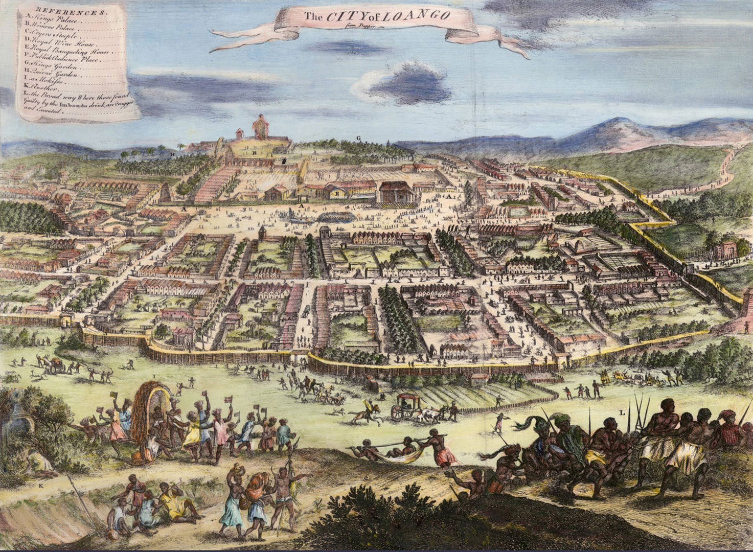
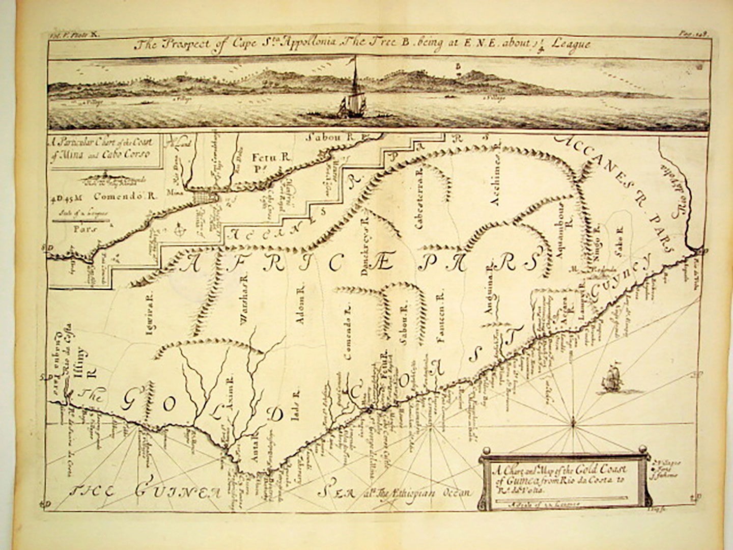
![A Chart and Map of the Gold Coast of Guinea from Rio da Costa to Rio a Volta [with a view of Cape Santa Appollonia] West Africa by Johannes Kip, London 1732](https://njamistad.com/wp-content/uploads/2025/01/AM-01-01_Gold-Coast-West-Africa-by-Johannes-Kip-1732_Mazzaforte-1-150x150.jpg)