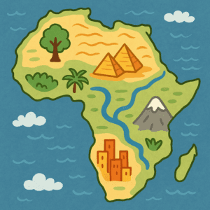
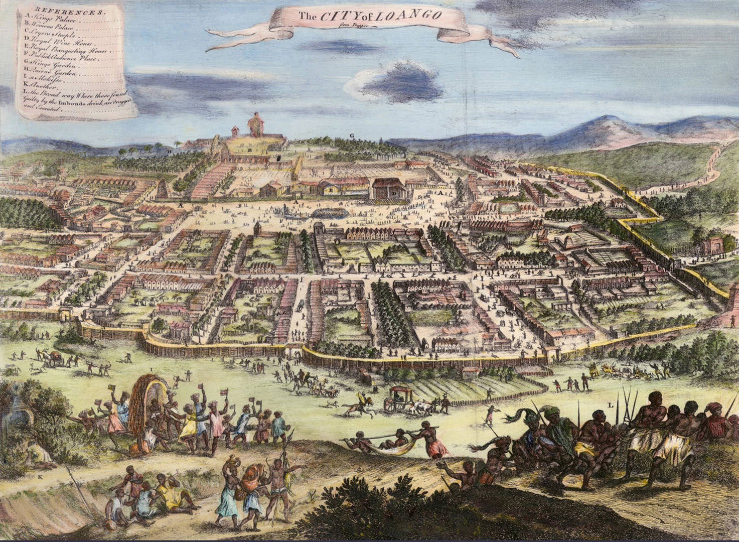
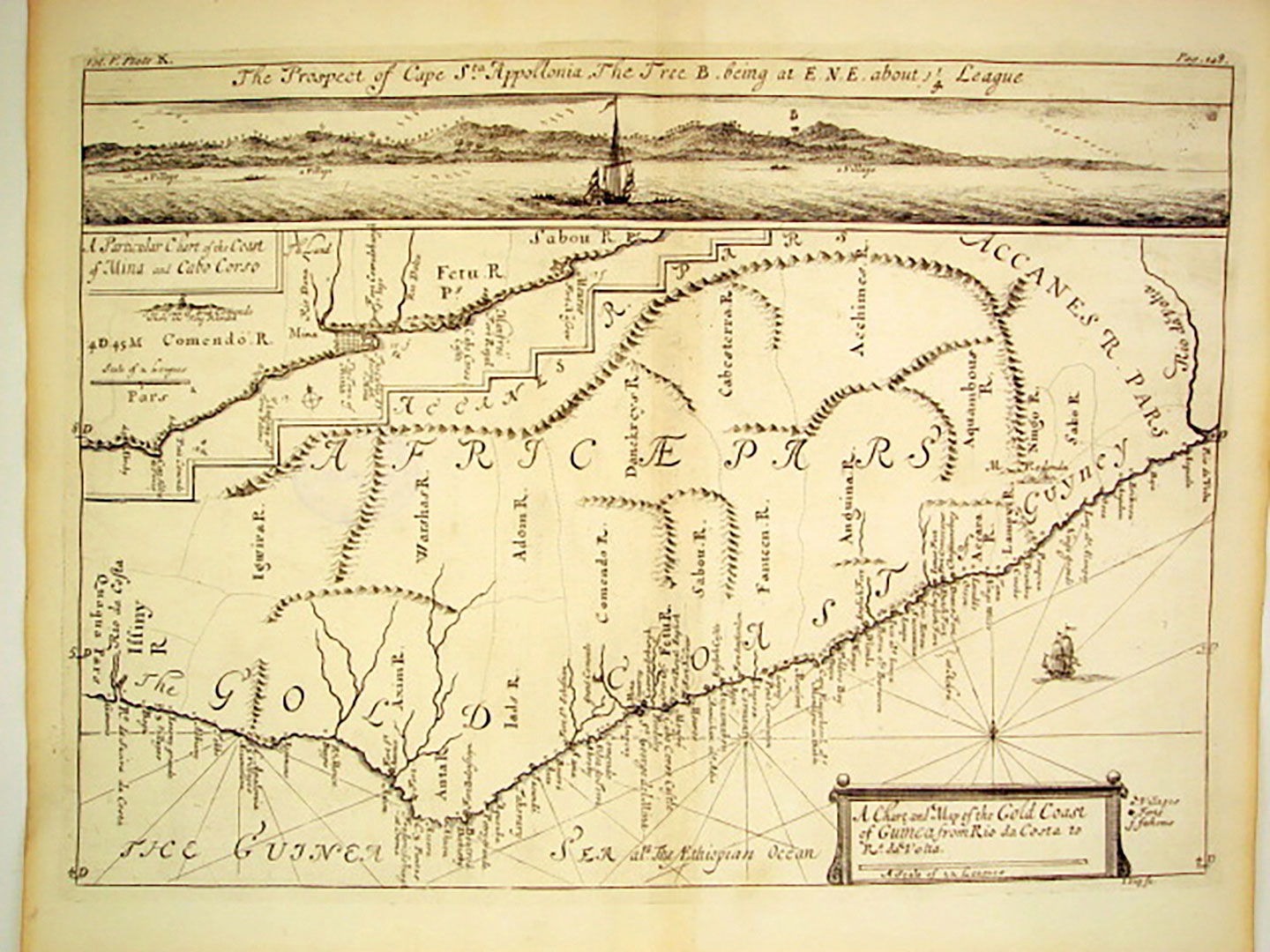
 Maps help us understand the world around us. They show where places are and help us find important things. In this lesson, students learn that maps can tell stories—about where we live, where we play, and the places that matter to us. After reading a story about the continent of Africa, students explore how different places can have special features. Then they practice using maps by looking at a simple classroom map and finally creating a map of a place that is special to them. Through drawing and sharing, students discover that maps can show not just where things are, but also what makes those places meaningful.
New Jersey Student Learning Standards:Â
-
6.1.2.GeoSV.1 – Use maps to identify physical features (e.g., continents, oceans, rivers, lakes, mountains).
-
6.1.2.GeoHE.2 – Use maps to describe where people live and why.
-
6.1.2.GeoPP.1 – Explain how and why people interact with the physical environment.
Curriculum
- 3 Sections
- 3 Lessons
- Lifetime
- Stage 11
- Stage 21
- Stage 31


![King Koko [King Frederick William Koko Mingi VIII] of Nembe in His War Canoe to resist European seizure of African resources. King Koko [King Frederick William Koko Mingi VIII] of Nembe in His War Canoe to resist European seizure of African resources. King Koko [King Frederick William Koko Mingi VIII] of Nembe in His War Canoe to resist European seizure of African resources. King Koko [King Frederick William Koko Mingi VIII] of Nembe in His War Canoe to resist European seizure of African resources. King Koko [King Frederick William Koko Mingi VIII] of Nembe in His War Canoe to resist European seizure of African resources. King Koko [King Frederick William Koko Mingi VIII] of Nembe in His War Canoe to resist European seizure of African resources. King Koko [King Frederick William Koko Mingi VIII] of Nembe in His War Canoe to resist European seizure of African resources. King Koko [King Frederick William Koko Mingi VIII] of Nembe in His War Canoe to resist European seizure of African resources. King Koko [King Frederick William Koko Mingi VIII] of Nembe in His War Canoe to resist European seizure of African resources. King Koko [King Frederick William Koko Mingi VIII] of Nembe in His War Canoe to resist European seizure of African resources. King Koko [King Frederick William Koko Mingi VIII] of Nembe in His War Canoe to resist European seizure of African resources. King Koko [King Frederick William Koko Mingi VIII] of Nembe in His War Canoe to resist European seizure of African resources.](https://njamistad.com/wp-content/uploads/2025/01/AM-01-03_King_Koko_in_His_War_Canoe-150x150.jpg)

![A Chart and Map of the Gold Coast of Guinea from Rio da Costa to Rio a Volta [with a view of Cape Santa Appollonia] West Africa by Johannes Kip, London 1732](https://njamistad.com/wp-content/uploads/2025/01/AM-01-01_Gold-Coast-West-Africa-by-Johannes-Kip-1732_Mazzaforte-1-150x150.jpg)